| Places:County Maps Ottawa County Map
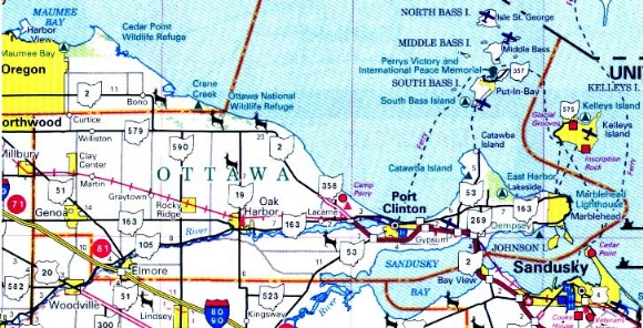
from the Ohio Department of Transportation State
Highway Map - 2005
County Historical Maps
Ottawa County Sections of Historical State Maps
use your browser's "back" button to return to this page from
linked graphics files
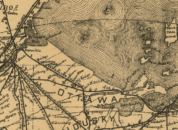
1. 1887
"Railroad Map of Ohio - Published by the State"
Cappeller, W. S.
from the Library of Congress, Geography and Map Division - LC RR
Maps #285
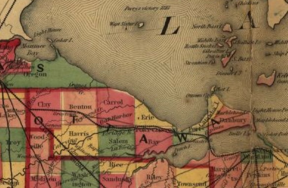
2. 1882
"New Railroad Map of Ohio, prepared by H. Sabine, Commissioner of Railroads
and Telegraphs."
Wapakoneta, Ohio 1882
from the Library of Congress, Geography and Map Division - LC RR
Maps
3. 1873
"Bridgman's new reversible railroad distance and township map of Ohio and United
States compiled from the most authentic sources"
Bridgman, E. C.
New York 1873
from the Library of Congress, Geography and Map Division - LC RR
Maps
4. 1854
Railroad and Township Map of Ohio -
Ensign, Bridgman & Fanning
New York 1854
from the Library of Congress, Geography and Map Division - LC RR
Maps
Other resources:
MapTech Historical Topographic Maps
Up to top
This site (c) 2005-2017. |

